Isle Royale National Park Map by Myrmel Maps
Product Description
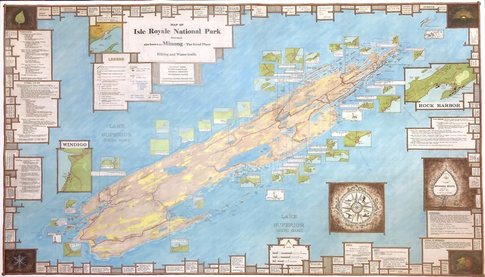
This large map covers the Isle Royale National Park in Lake Superior. Waterproof. Isle Royale, known by indigenous people as "the Good Place", this National Park is only accessible by boat or seaplane. This detailed waterproof map shows hiking, backpacking, fishing and boating information along with historic sites to visit.
Map size = 23" x 39"
Printed 2020
Made by a Minnesotan, printed in Minnesota entirely a USA product
Price includes tax and shipping in USA.
Product Details
Approx. Price:
$34.00 (Click to View Price Changes and Options)
Brand:
Myrmel Maps
SKU:
MM03
Manufacture ID:
180
Reviews for Isle Royale National Park Map
No Reviews -