BWCAW / Superior National Forest Map by Myrmel Maps
Product Description
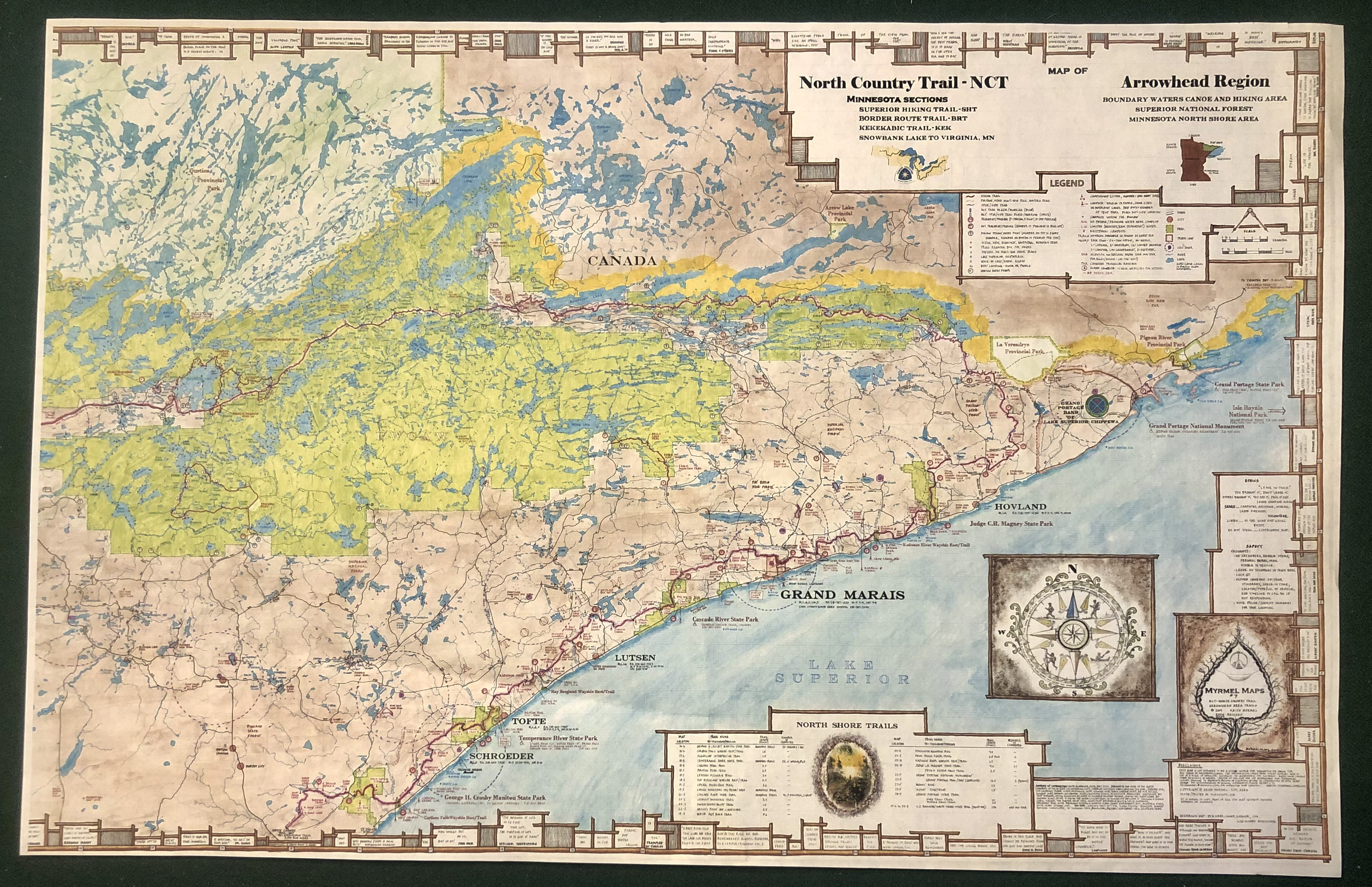
The map covers the entire BWCAW plus most of the Superior National Forest. Two sided print, half printed on each side - Waterproof - Over 50 hiking trails including the new NCT with the SHT, BRT and KEK - Entire BWCAW including all campsites and long portages marked out - Superior National Forest with camping and water access locations - Quetico Provincial Park and entry locations.
This detailed waterproof map is printed on both sides of the waterproof paper, with full information for over 50 hiking trails and all campsites. This map is great for planning, as well as, display.
Map size = 25" x 39"
This map can be pieced together to make it 25" x 72".
Made by a Minnesotan, printed in Minnesota entirely a USA product
Printed 2019, 2020, 2024
Price includes tax and shipping in USA.